01
Forest inventory
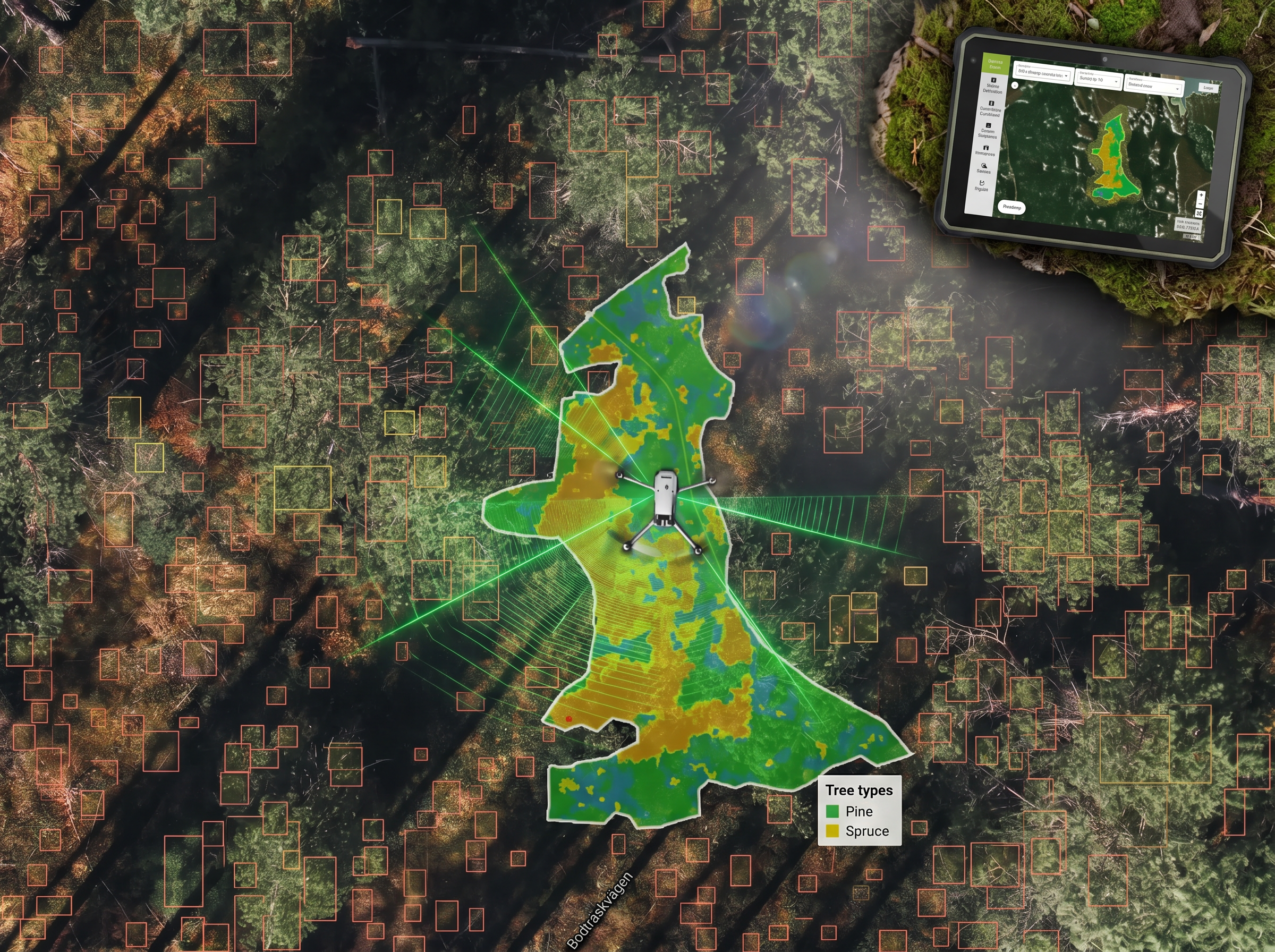
Efficient, scalable data collection. Combined with Conifer Vision’s analysis tools, it provides reliable insights for planning, young forest management and monitoring planting results.
Read more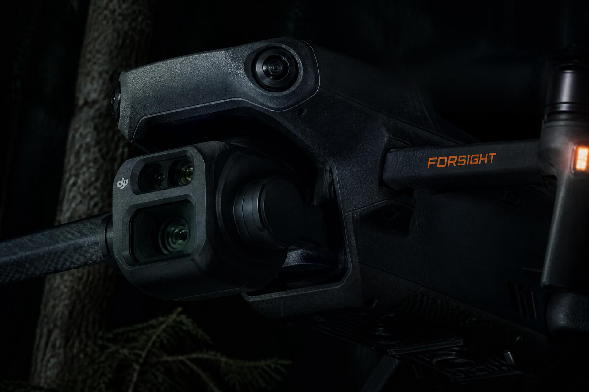
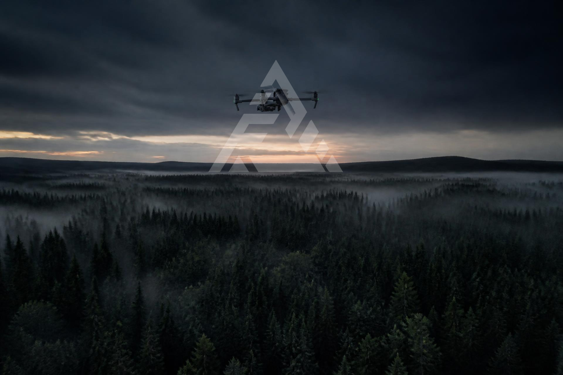
Forsight · Drone data
Drone data for forestry and industry.
We collect, process and visualise data from the air.
Forsight combines advanced drone technology with data processing and analysis to provide reliable insights for forestry and industry.
Services
We make complex data useful.
Efficient, scalable data collection. Combined with Conifer Vision’s analysis tools, it provides reliable insights for planning, young forest management and monitoring planting results.
Read more
Inspection and documentation of facilities, structures and hard-to-reach areas. Using an RC vehicle in pipelines and confined spaces, we reach places drones cannot.
Read more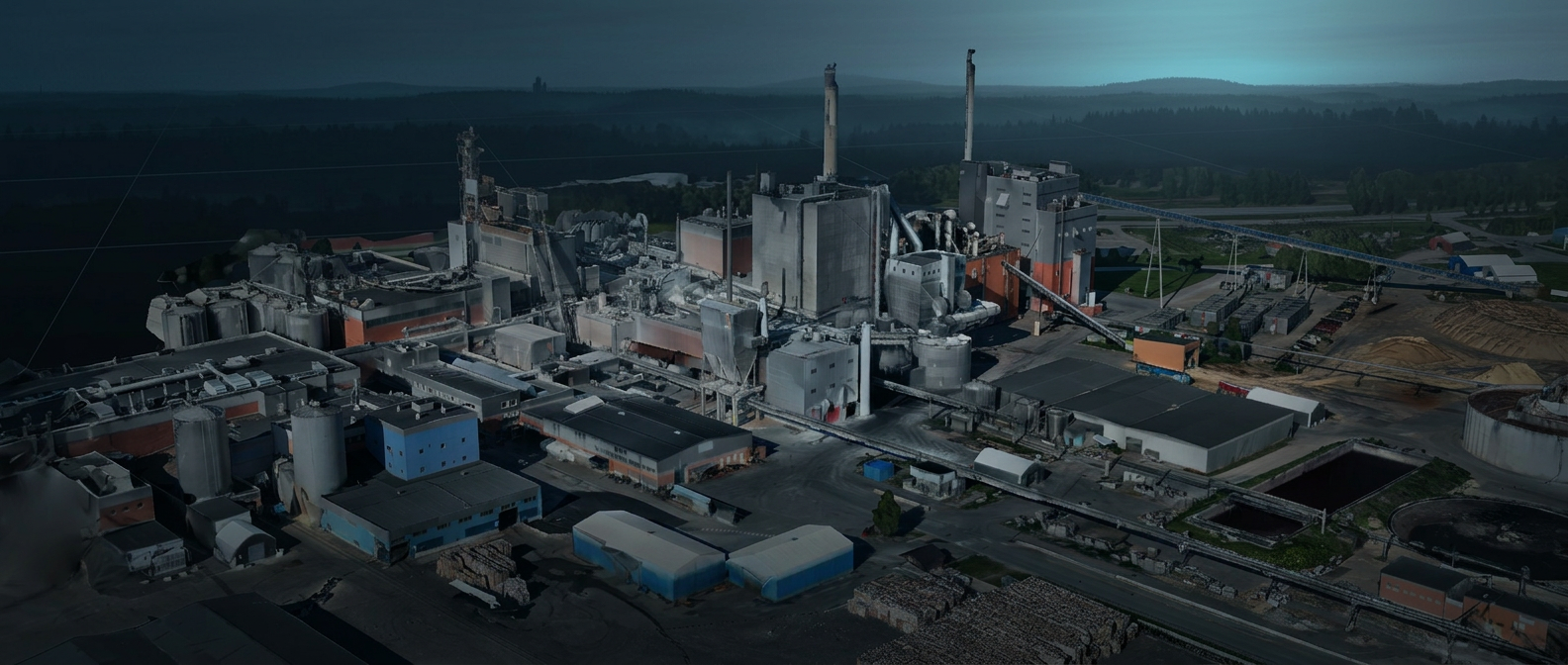
Detailed orthophotos, terrain models, point clouds and digital facility models for surveying, design and monitoring. We also analyse and measure volumes using the data we collect.
Read more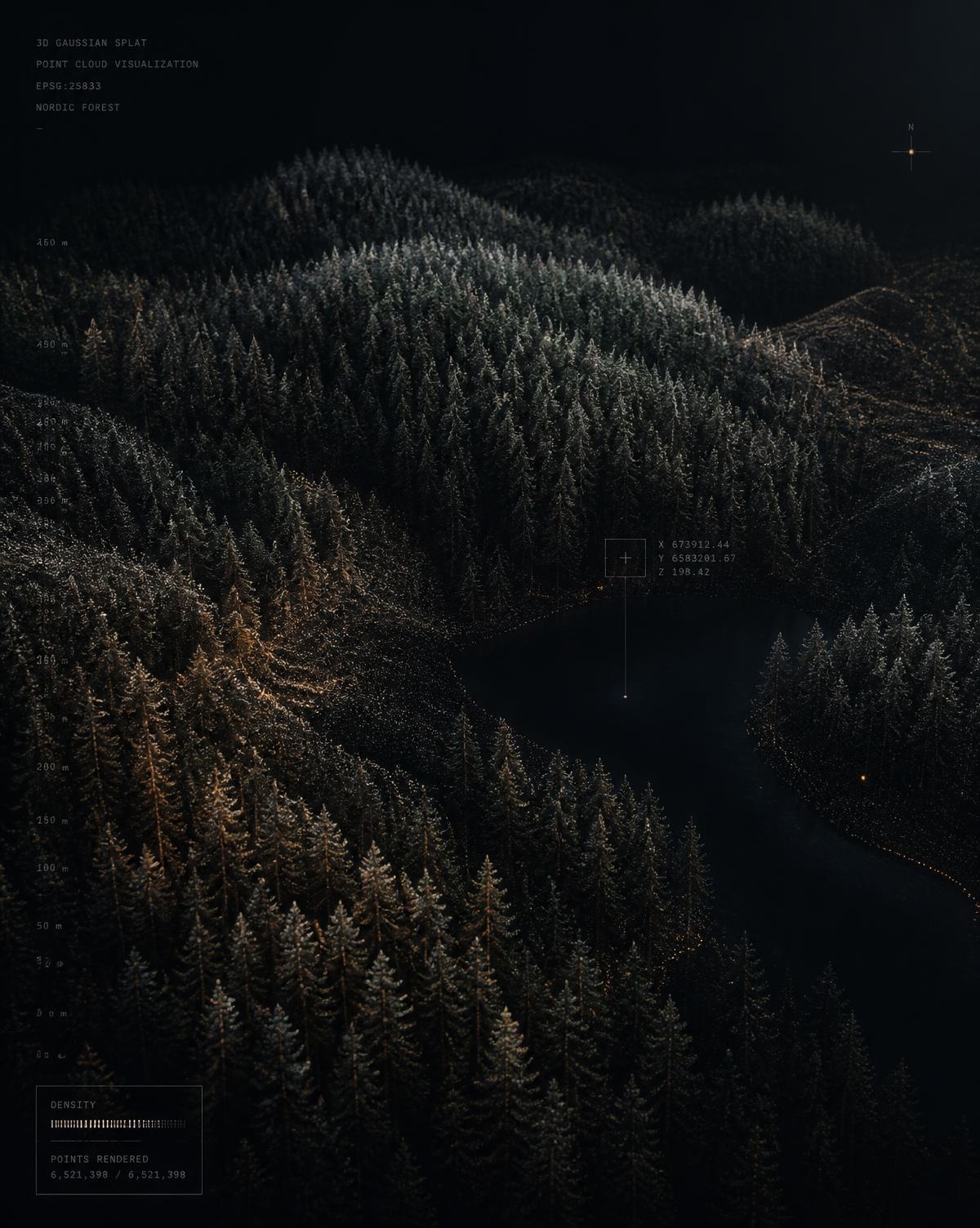
Photorealistic, interactive 3D environments built with Gaussian splatting — ideal for presentations, planning and remote inspection. We host these environments in our client portal, where they can be explored directly in a browser.
Read moreClients & partners





Our approach
From data collection to completed analysis — an efficient process for repeatable, reliable results.
We review the flight area with the client and carry out a risk assessment before flying.
Flying and data collection.
Image and sensor data is processed into outputs such as orthophotos, point clouds and 3D models.
Data is analysed using specialist tools, AI and forestry or industrial models.
Results are delivered in a format that fits the client’s existing workflows.
Large areas
Cover large areas in significantly less time than traditional field methods.
Repeatable
Standardised flights make it possible to track changes between surveys.
Safer
Inspect hard-to-reach areas without unnecessary risks to personnel.
Actionable
Deliverables are tailored to the client’s decisions, systems and workflows.
Selected projects
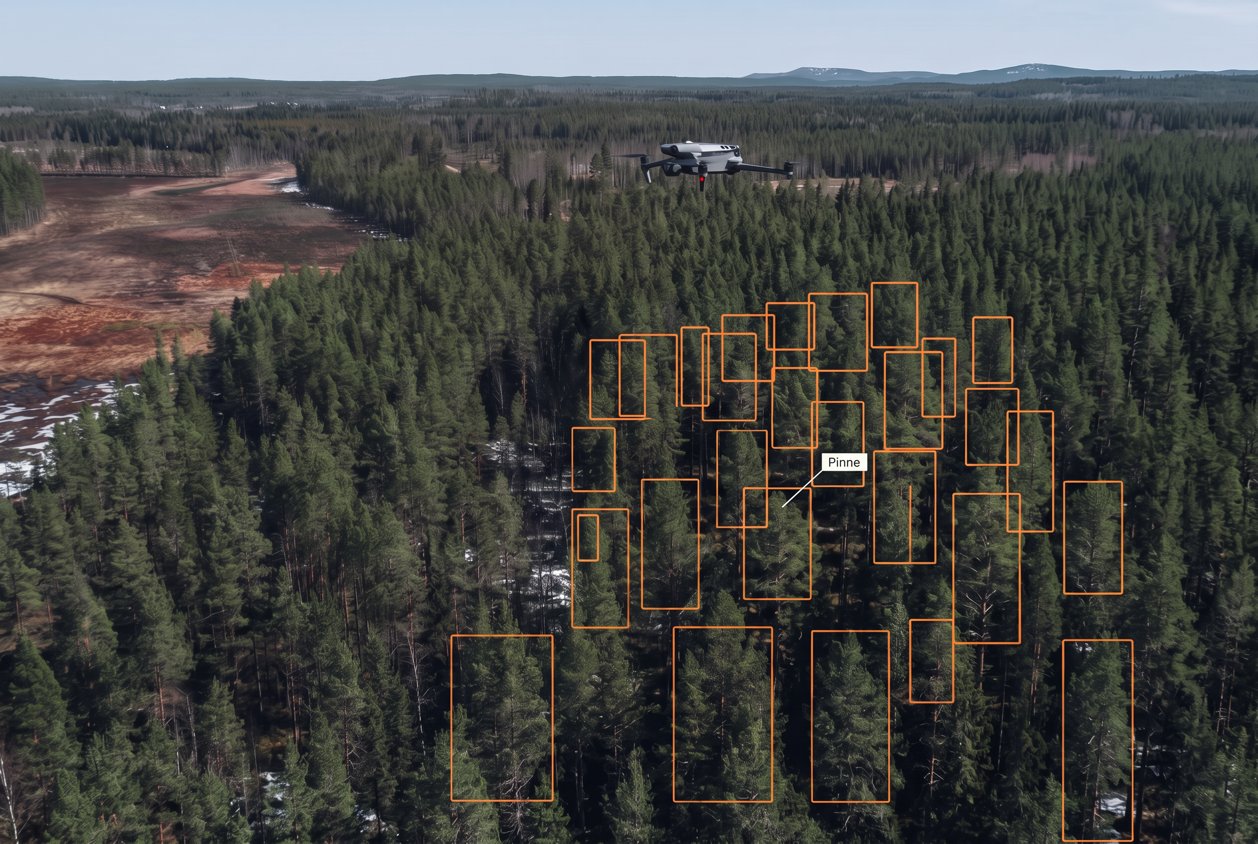
Young forest inventory
Drone-based inventory and analysis for more efficient planning and monitoring of pre-commercial thinning needs.
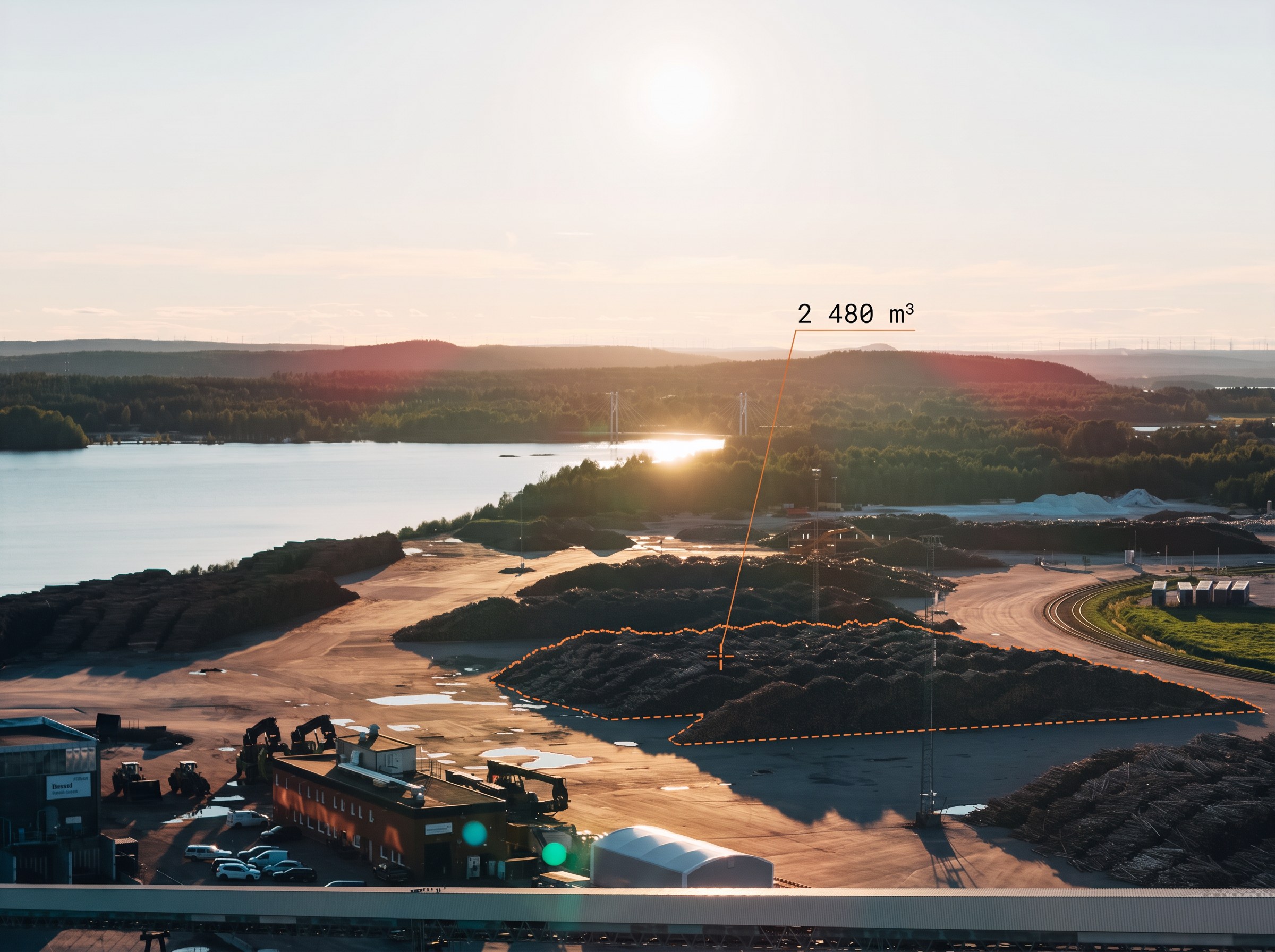
Smurfit Westrock
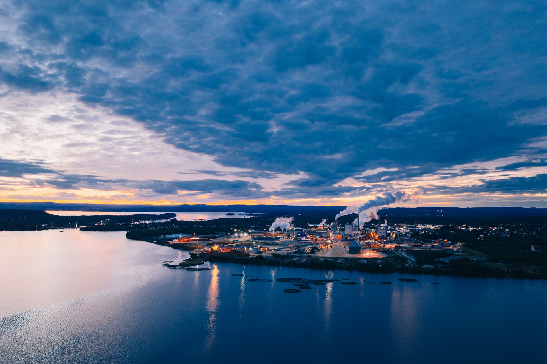
Regular drone surveys of stockpiles and industrial sites for documentation and volume calculations.
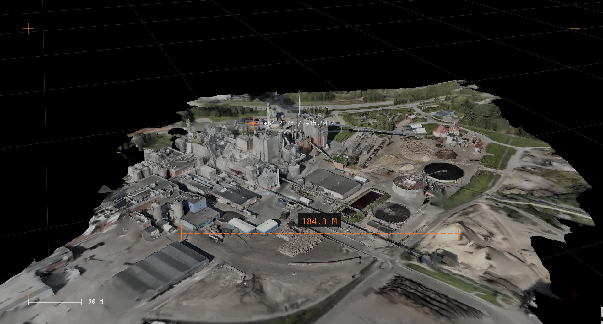
Industrial 3D model
A photogrammetric 3D model for site overview, design, documentation and planning.
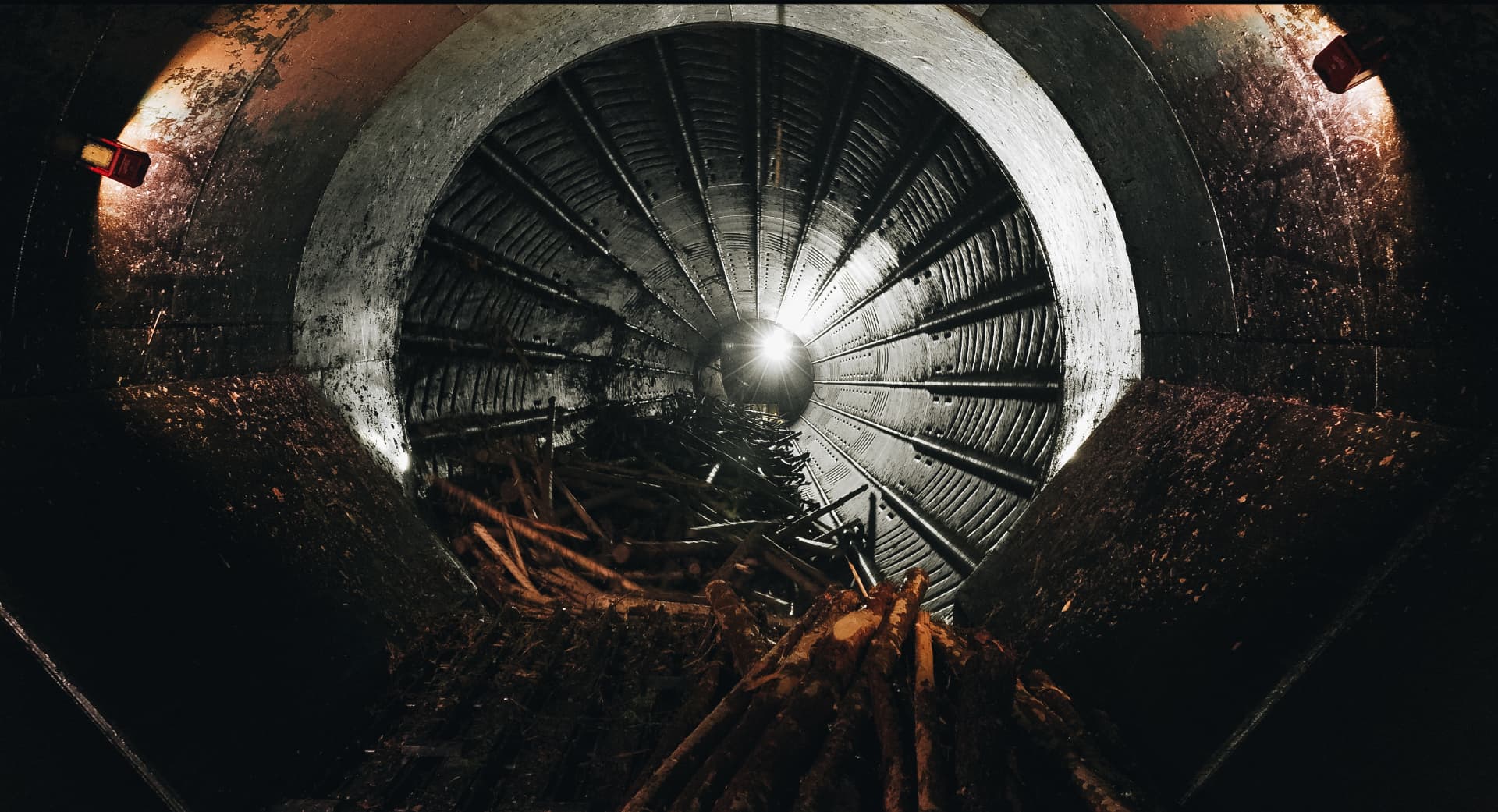
Industrial inspection
Image collection and analysis of industrial equipment and hard-to-reach structures.
In the field
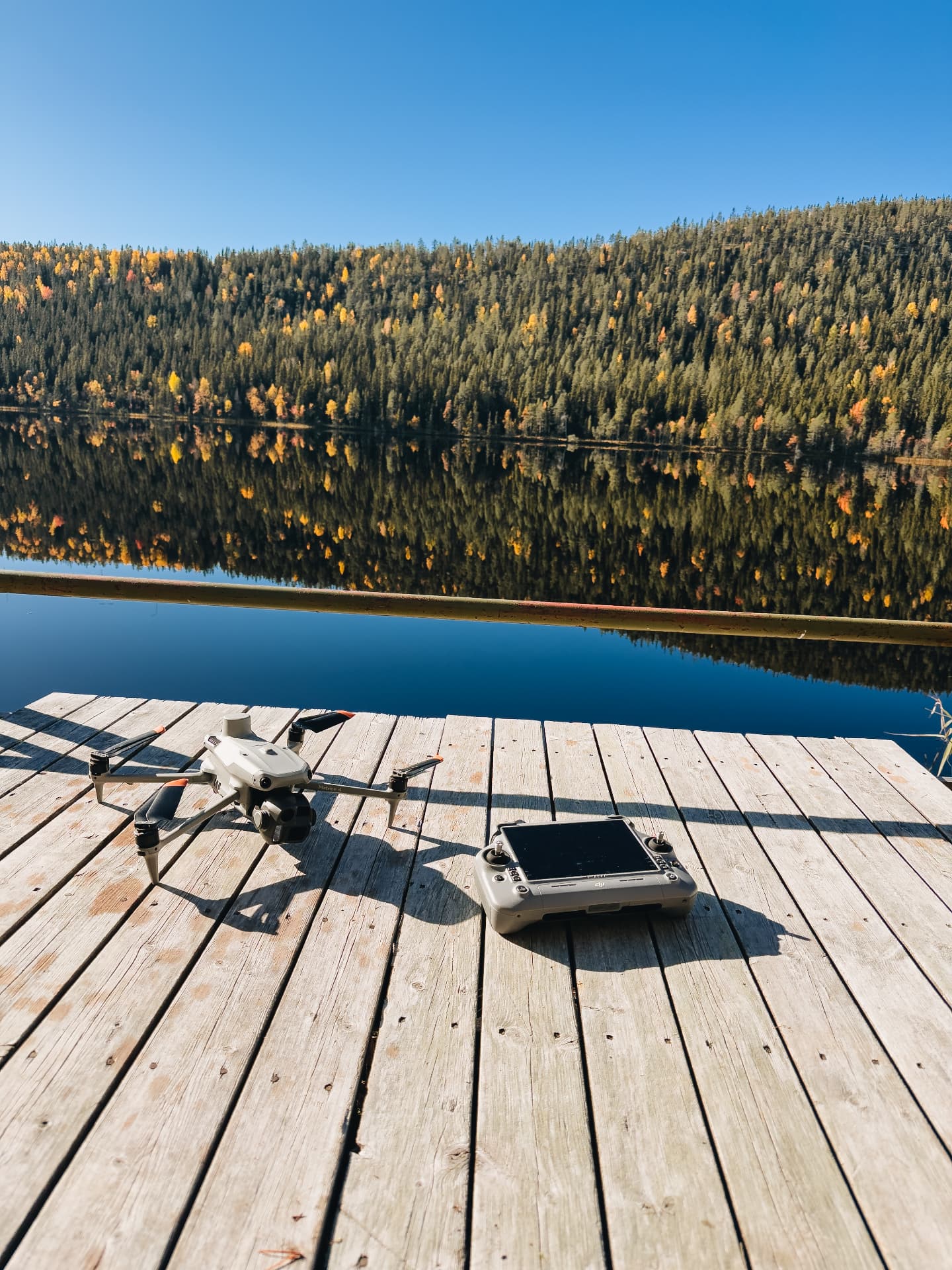
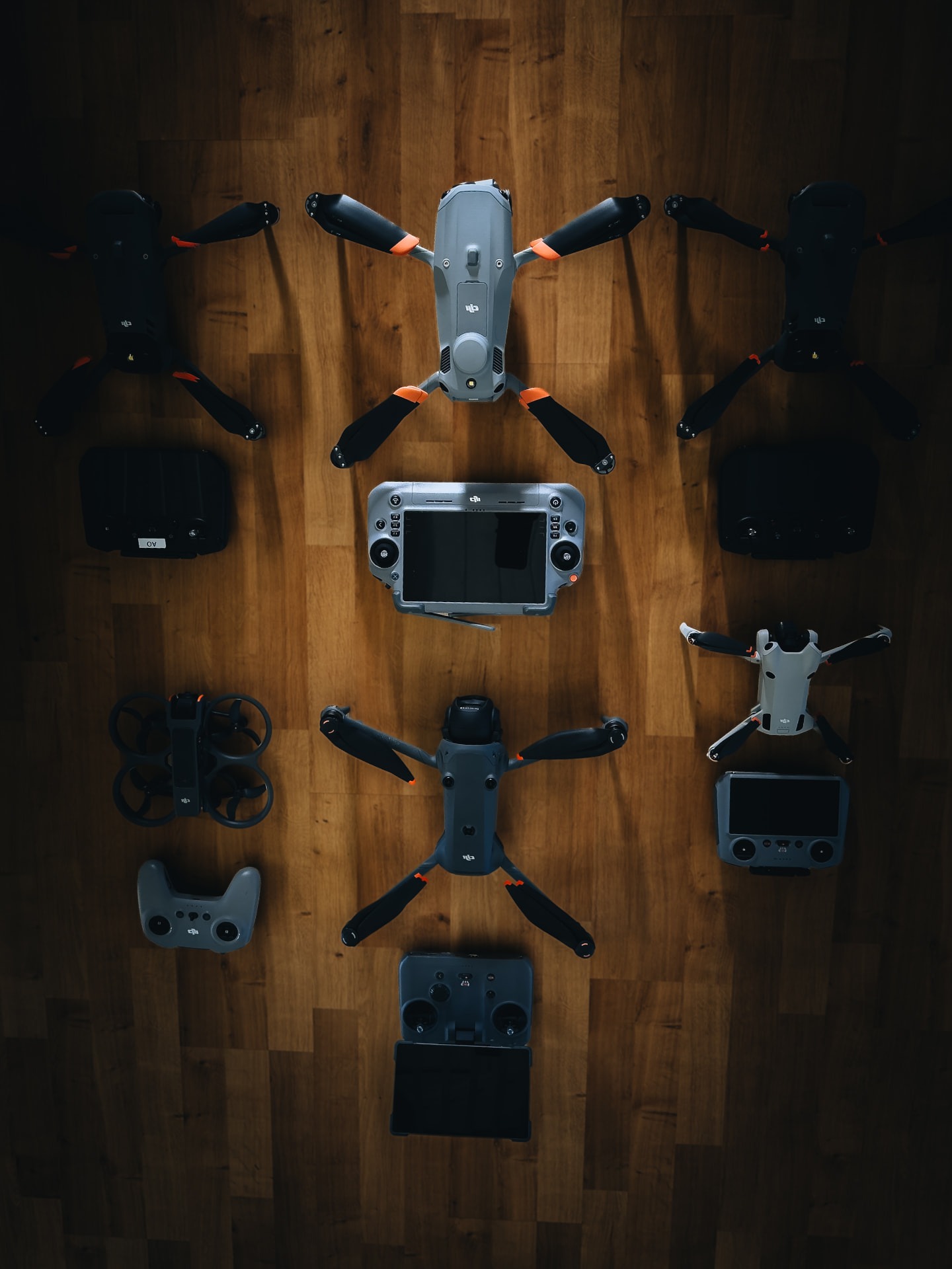
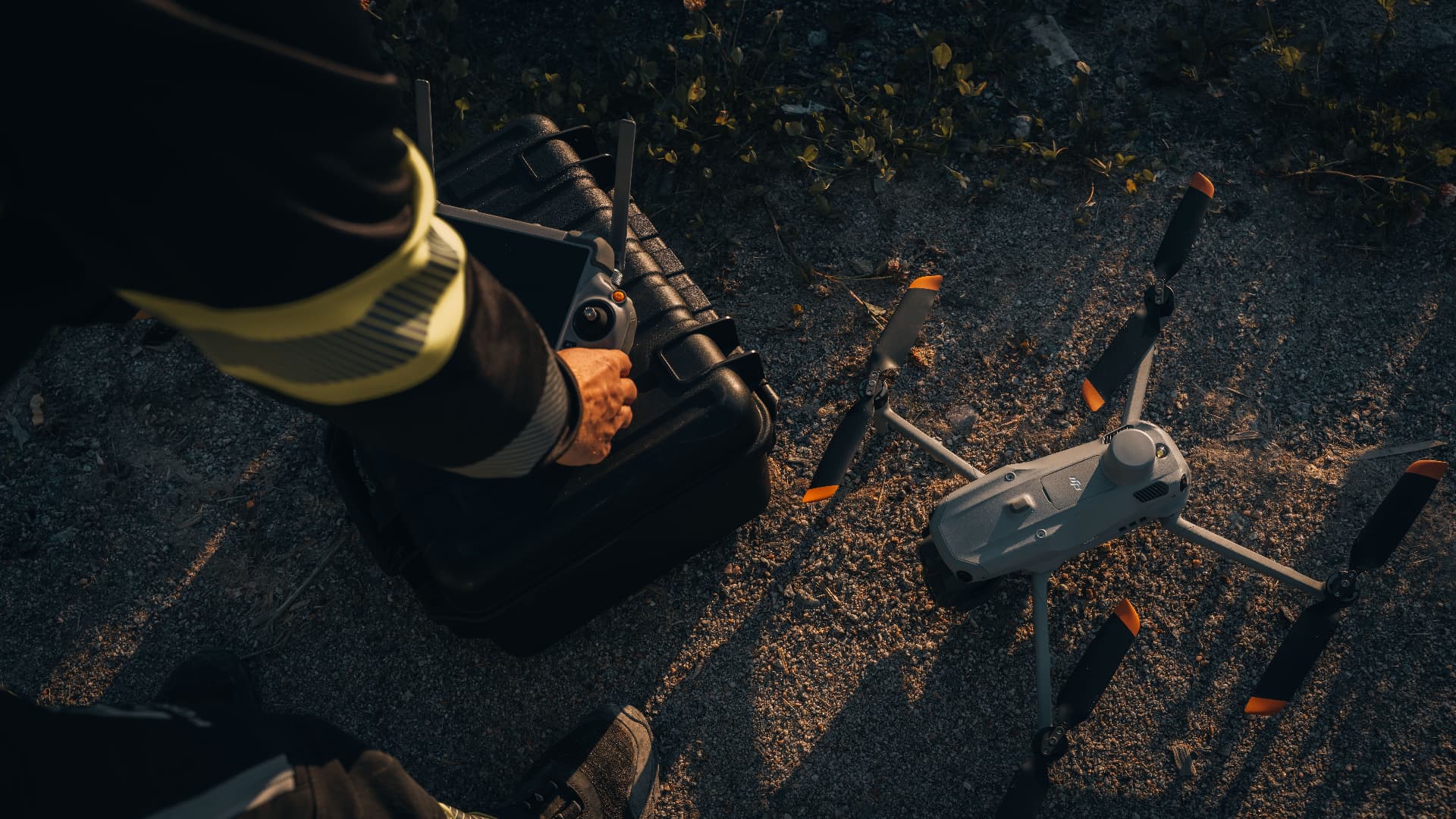
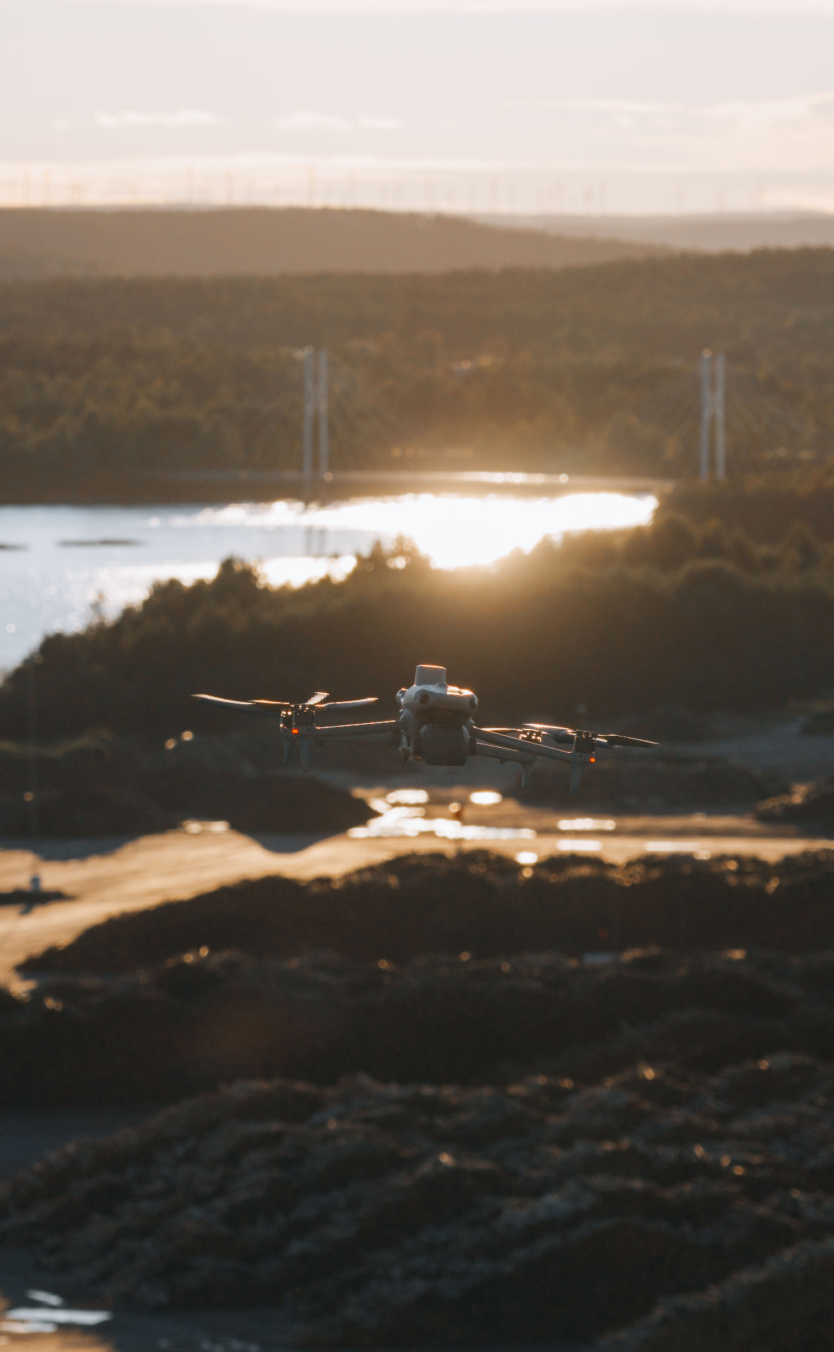
We use DJI equipment — for industrial work as well as the latest technology for film and photography.
In partnership with
Conifer Vision
Forsight is a supplier and data collection partner to Conifer Vision. We handle drone-based data collection in the field, providing the foundation for Conifer Vision’s advanced forestry analysis and scalable digital forest inventory solutions. Read more ↗
About Forsight
Forsight works at the intersection of drone technology, geospatial data, forestry and industry.
We use modern data collection and analysis methods to help our clients understand large areas, track changes and make better decisions.
Our focus is not on the drone itself. The value lies in the information it delivers.
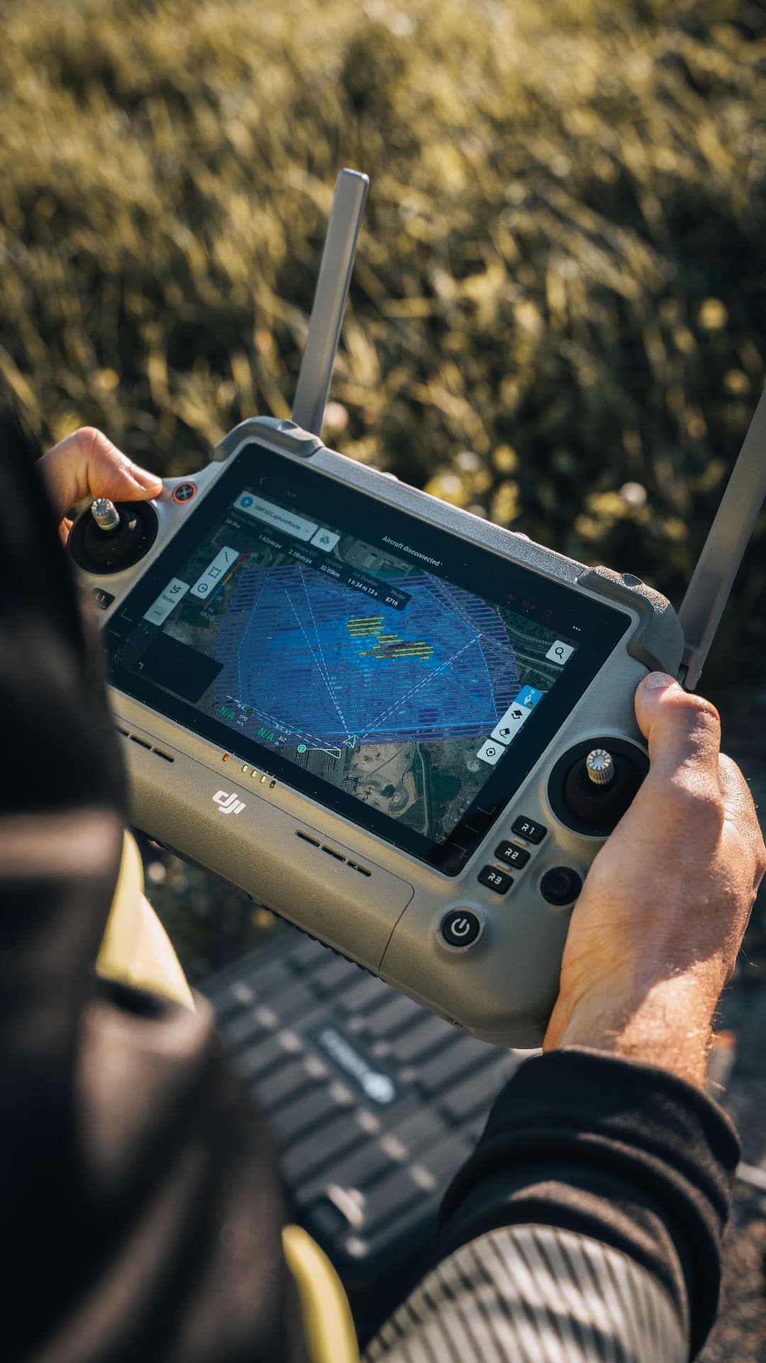 Fieldwork · Northern Sweden
The team
Founder
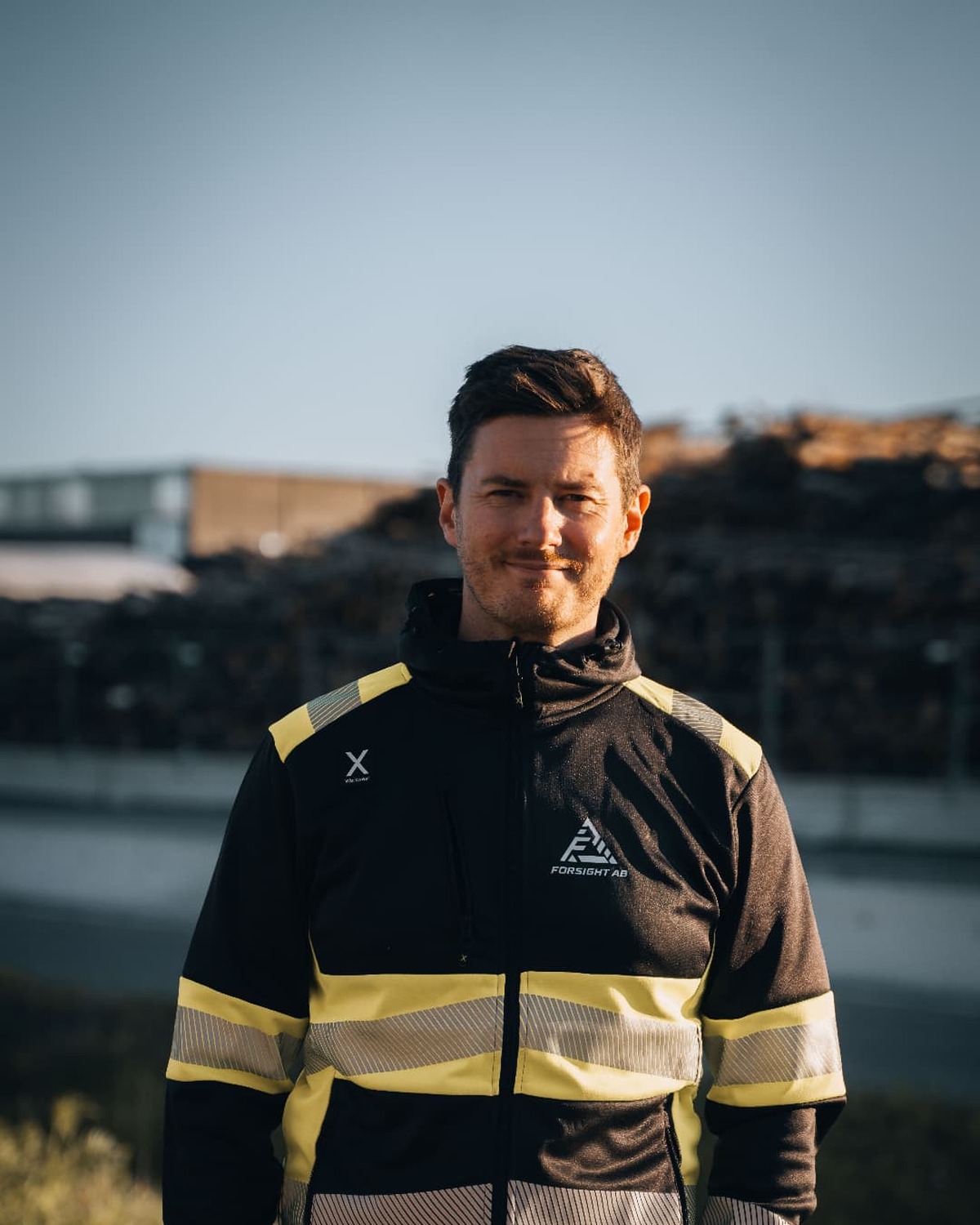
I have worked in the pulp and paper industry for 17 years, and for the past 10 years I have also worked in film production and drone flying. Forsight brings these experiences together.
My industrial background helps me understand the environments we work in, the questions that need answering and the importance of clear documentation. With drones, film and 3D models, we make large areas and hard-to-reach places easier to inspect, measure and monitor.
I started Forsight to give industrial and forestry businesses better information for decision-making — from inspections and inventories to visual models that make results easy to understand and use.
Founder
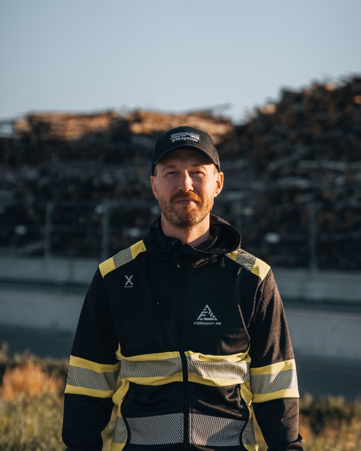
I have worked as a photographer for over ten years, driven by a desire to explore and capture the world around me. Outdoor life, fishing and skiing have taken me to places that challenge both creativity and technical skills.
I have extensive experience flying drones, both as a photographer and through building and flying my own FPV drones. This has given me a deep understanding of the technology, from how a drone works to how best to use it to collect images and data.
At Forsight, I combine my visual eye with hands-on experience in drone technology. Together with Oskar’s industrial expertise, this forms the foundation for solutions that make forestry and industry easier to see, understand and document.
Client portal
Sign in to view your projects, interactive 3D environments and all your Forsight deliverables. Convenient, secure and always available.
Go to client portal3D environments
Explore your Gaussian splats directly in your browser.
Project overview
View all your projects, files and deliverables in one place.
Secure access
Only you and your team can access your data.
Tell us what you want to measure, document or analyse, and we’ll help you find the right approach. Fill in the form or email us directly at info@forsightscandinavia.com.